


The Knotty Ash and Old Swan 1906 map (Godfrey Edition) shows a Burial Ground from the Presbytery to the rear of the buildings on Mill Lane. The map was surveyed 1890-1 and revised 1905-6. The Burial Ground does not have the word 'disused' unlike the later maps.
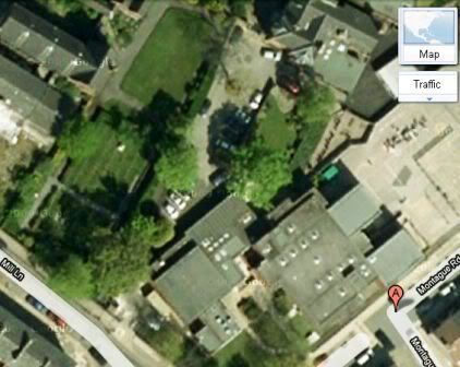
The following Google map shows the Junior School has been built over part of the Burial Ground, as already shown by fortinian:
http://www.yoliverpool.com/forum/sho...ld-Swan/page15

 Reply With Quote
Bookmarks