
I've looked at press cuttings from the trial at the record office and there didnt seem to be any pictures/sketches at all.Originally Posted by MissInformed


I've looked at press cuttings from the trial at the record office and there didnt seem to be any pictures/sketches at all.
I have a 1769 map of Toxteth Park that I got in a pack of stuff from Scouse Press. There is what I am assuming to be a pond marked on it in a figure of 8 shape, around the site of the current junction of Upper Stanhope St and Princes Rd. This is about 500m from Grenville St South. What I dont know is if this area had been built upon by 1849, if indeed whats on the map is a pond in the first place.
That is brilliant
Thank you so much for looking into that for me.
What was the pack you got from Scouse Press?
Have a look here. http://www.scousepress.co.uk/home.htm. I'm going back 4-5 years and I got packet number 2. If its what is advertised here it is great value, about 10 maps an 4-5 prints.
Is this referring to Mather's Dam ?
I've attached a scan from an 1821 map.
Old-Merseytimes website, mentions a pond in a field at the end of Crown Street as being 'the figure of eight pit'. A mid-19th century map might show it.
http://www.old-merseytimes.co.uk/levesonstmurder.html
Good find Marky.
Hi Gang,
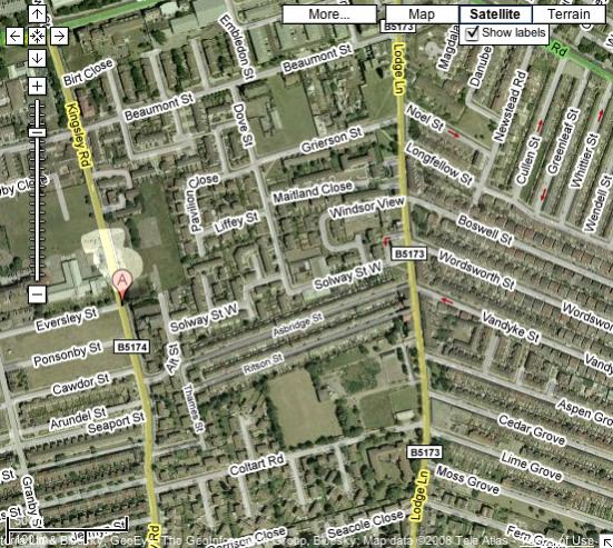
I've looked at the period maps (in particular the 1850 map of the area, before it was developed much beyond the junction of Beaumont St and Kingsley Rd) and I've superimposed the figure of eight pit (clearly visible - and to the same scale) onto a modern satellite photo, using an image from Google maps.
I make its location just above the junction of Eversley Street and Kingsley Rd - and have lightened it up for greater clarity.
1850 map showing 'figure of eight' pit
Location of the 'figure of eight' pit transposed on a modern topographical map
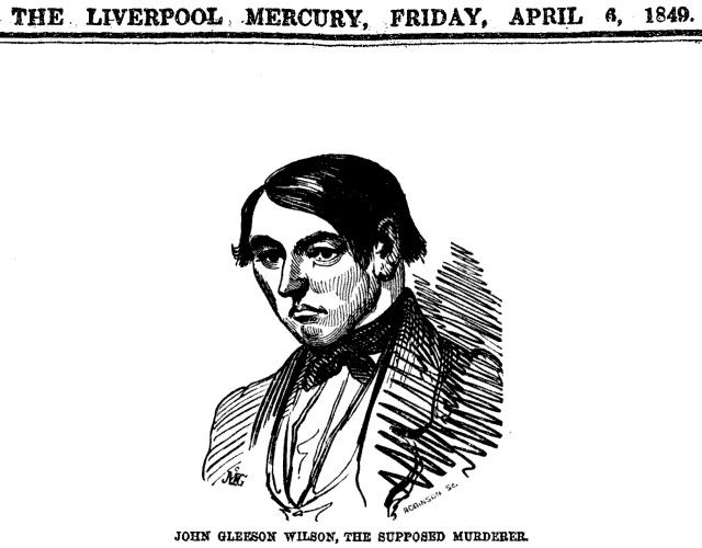
Extract from Liverpool Mercury 1849 C)British Library
Murder scene plan:
http://www.flickr.com/photos/2563250...l-60302053@N00
 Posting Permissions

 Reply With Quote
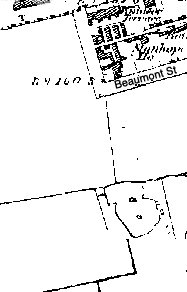
Bookmarks