Below: 1913 map:


above a 1913 map
- The proposed loop line is in blue.
- The blue and pink are existing disused tunnels
- The blue and green is predominantly cut and cover not tunnelling.
- The blue only is existing used line.
- Tunneling where cut and cover meets existing tunnels.
- The red is the existing unused Wapping tunnel.
- The new stations are marked
The existing used line from Otterspool station to the end of the Dingle tunnel (blue and pink tunnel) can be taken up and free up this area for development.
The cut and cover of Aigburth Rd can be put back and only the loop formed making the project cheaper. However Aigburth Vale and a new station for Lark Lane would not be built.
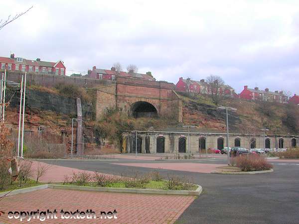
Dingle underground station 1906 (toxteth.net)
Dingle underground station still exists:
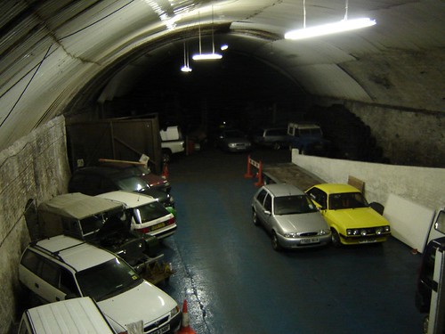
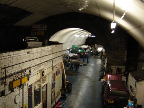
Below: the Dingle Tunnel. Tunnel to Dingle station. The south end of the old Overhead Railway. It started underground.
A BIG Outer Loop:
Depending on if a Mersey barrage is built. If so a bridge over the Mersey From Speke/Garston to the Wirral.
Recommission the outer loop from Edge Hill through Walton to the North End Docks. Over the barrage into New Brighton. Down the Wirral on existing Merseyrail and onto the Bridge. Across the Mersey and meet up at South Parkway. Could recommission the Gatacre Line track through Childwall.


Originally Posted by jc_everton


 Reply With Quote


Bookmarks