
Originally Posted by
PhilipG

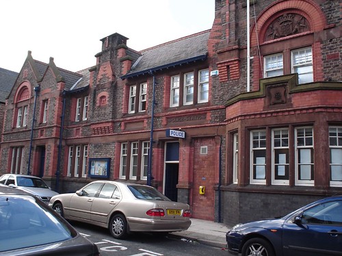
Is that one of the new signs?
There's loads in the wrong place, but the Cricket Club sounds about right for Garston.
Grassendale and Cressington are part of Garston.
With all these definitions of what is Garston, like all things it depends on who you talk to !!! Elsewhere on this site , you'll see photos of boundary markers for Garston on Rose Lane, Mossley Hill., Also Ashfield Rd, Aigburth
So we have the original township of Garston which merged with the City of Liverpool around the turn of the 20th C and what is now called Garston. The township boundaries stretch from the old Bryant and May Match Works all the way to essentially Ashfield Rd. The other township boundary is roughly the railway line running through Mossley Hill Station and the mid point of the River Mersey.
The council's new district signs across Liverpool seem to have been based on post code boundaries and are mainly in the wrong place historically. Those for Allerton are a classic case of mis siting. I would suspect most people these days would distinguish Garston from Grassendale but where does Grassendale end and Garston begin. One definition is the parish boundary for St Mary's Grassendale. It may surprise some to know that this includes Hartington Rd in what many would call Garston. So all in all I prefer to use the original township boundaries to define Garston as these have an historical basis going back several hundred years. On this basis , St Matthew and James Church Mossley Hill was built in Garston. Indeed this was a stipulation of the will of Matthew James Glenton who provided the money to build the church in the mid 1870s.


 Reply With Quote
")


Bookmarks