
Originally Posted by
imd6662

Hi there
I've been interested to read some of the memories on here about old streets and places which have since disappeared, presumably as a result of major clearance durings the 1970s?
The last set of posts on the Everton District thread showing both a 1960s roadmap, and a contemprorary map, grpahically shows how an incredibly dense network of back to back streets (presumably creating pretty poor living conditions), has been transformed.
Looking at the 1855 OS map, shows another picture again, this time before much of the high density settlement occurred.
I'm interested because these are the palces where my grandfather was born (and ran away from!).
In particular I'm interested if anyone has any memories of or information about Orient Street and Priory Street (two of the older streets in the area, being on the 1855 map, and now covered by the Dixie Deans Playing Fields.
Also interested in any clues about: Amelia Street, Potter Street, and Nicholson Street.
I'm also curious about the "priory" referred to in Priory Street (and perhaps also Priory Road. Does this refere to one specific histrical priory in the area, or where there a few.
More generally, can anyone popint me at a published or available hsitory of the development and growth and change of Everton?
Cheers from New Zealand.
Ian
Good luck to you in your enquiry, Ian. I don't have any specific answers about the streets you mention except that I can possibly help you with your query about whether there was a priory in this area. From what I know of local history, no. The nearest priories, to my knowledge, would have been Birkenhead Priory to the west, Norton Priory (near Runcorn) to the east, and Burscough Priory to the north. I think I am right in saying there are a number of streets with ecclesiastical ramifications in the Everton/Anfield area, and the name possibly has more to do with Victorian romantic notions than any specific institution in the area.
Chris


 Reply With Quote
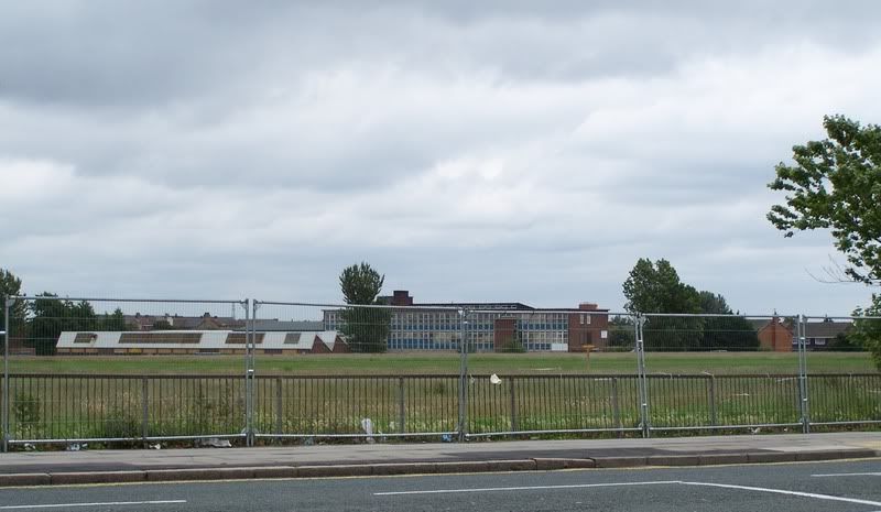


 You ain't been forgotten as you had a mention in the "YO 08 awards"

Bookmarks