A few updates on the site of St Phillip's Church, Hardman Street.
St. Philip's Church was not on the site of the Fly in the Loaf pub, as we originally thought. It was on the land next to it, now occupied by the Victorian red bricked building leading up to South Hunter Street. Hopefully this should clear it up a little?
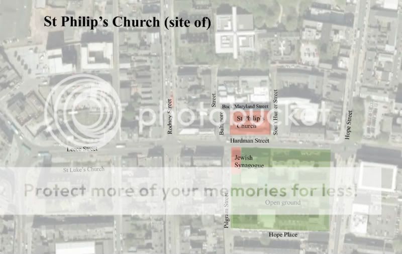
Image 1 ^ Google earth view, with St Phillip's high-lighted.
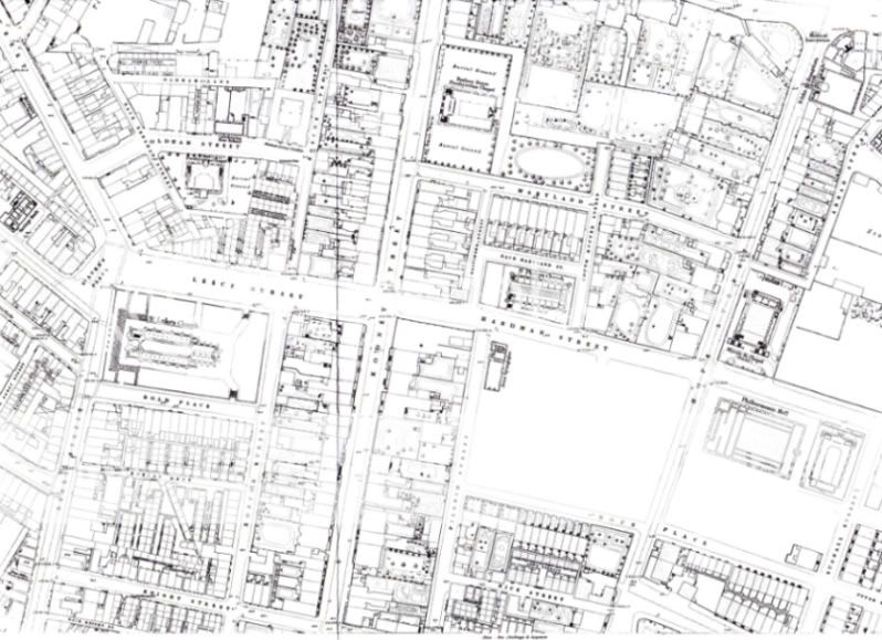
Image 2 ^ 1848 OS map extract of Hardman Street
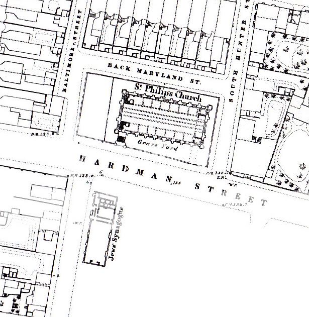
Image 3 ^ 1848 OS map large scale

Image 4 ^ St Phillip's Church, Hardman Street
The map above [image 3] confirms that this is the correct image for St Philip's [the original image was unsourced] ie: 8No. buttress walls along the nave, and 2No. at the ends. Also the entrance is in the right place, and the plan is consistant with a tower/ spire-less church.
The image also shows the corner wall edge of what might be the Fly in the Loaf building? It has the same masonry keying as the photographs, although the window's do not correspond....and the lower glazing of the current building is not shown. All of which may have been added/ altered afterwards?

Image 5 ^ Fly in the Loaf, Hardman Street
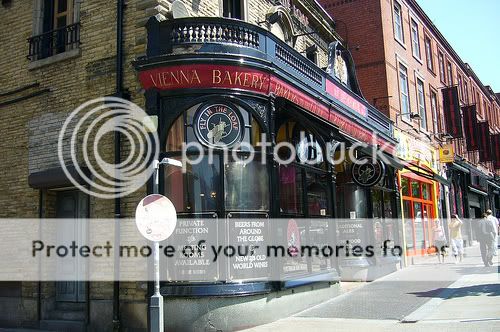
Image 6 ^ Fly in the Loaf, Hardman Street
In image 4 the building being constructed [demolished?] is possibly the current Fly in the Loaf building? It looks like it's sitting further back from the road than the church gates? I assume that when the church was demolished, the developers had built right up to the edge of where the churchyard wall and gates where? And then following on - the ground floor bay windows to the Fly in the Loaf were added later to meet the new neighboring building, and new street line?
The red bricked building shown above is on the site of St Philip's Church.
D.

Originally Posted by knowhowe


 Posting Permissions

 Reply With Quote
Bookmarks