In the year 1907 the authors William Farrer and J. Brownbill described Kirkdale as follows:
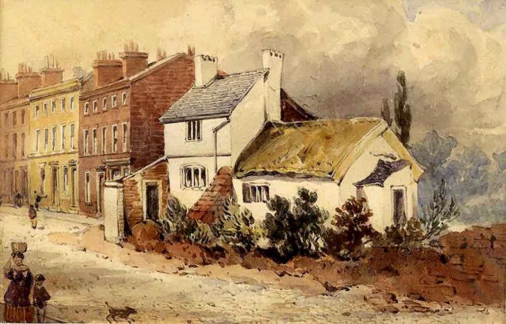
With a frontage to the Mersey of a mile in length, Kirkdale extends inland about a mile and a half, the area being 841 acres. It occupies the level ground between Everton and the river, a large part of which was formerly Sandhills, and the village lay at the foot of the hill, on the north-west side of the road from Liverpool to Walton. To the north rose a brook which ran down to the river by Bank Hall. From the village a road led to the river side at Sandhills; another road, Field Lane, afterwards Bootle Lane and now Westminster Road, ran to Bootle. On the eastern side towards the border of Walton the land rises a little, attaining 150 ft. above the Ordnance datum. Like other townships absorbed by the growth of Liverpool, Kirkdale is a mass of buildings, chiefly small cottage property, the dwellings of the working classes, mixed up with factories and warehouses, railways, and shops. There are no natural features left, scarcely a green tree to relieve the monotony of ugly buildings and gloomy surroundings, save in some old enclosure that was once a garden.

 Blog Categories