Thanks mate.


Thanks mate.
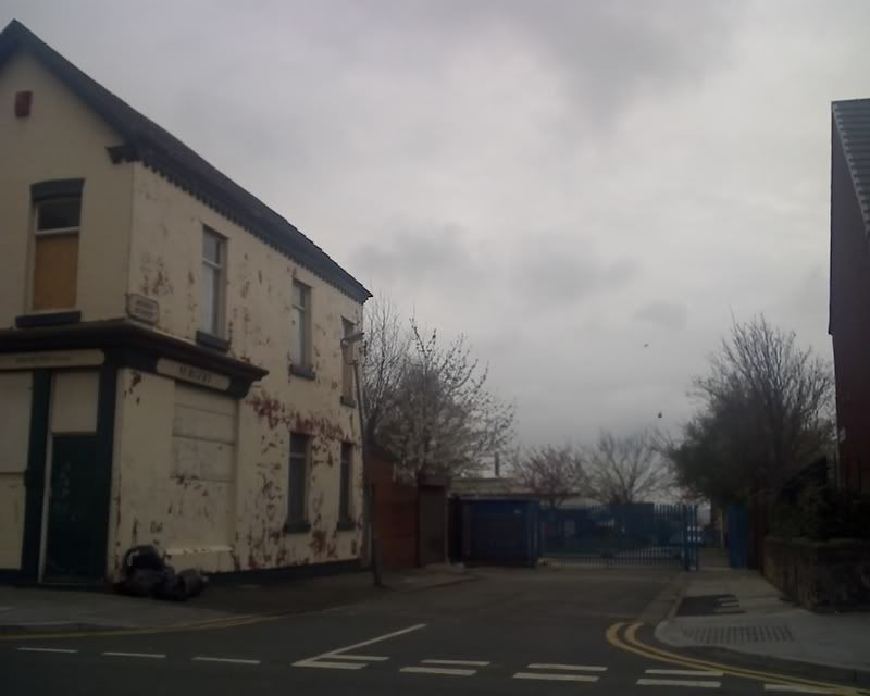
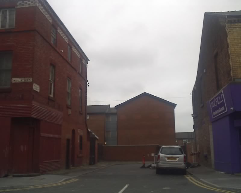
All that remains of Dale Street Garston is a short length of road. The houses were cleared in the early 1970s. The road gets its name as it once overlooked the Garston Dingle. This was an attractive valley leading down to the River Mersey from the Church St/ Speke Rd area of Garston.
The wall on the RHS of the photo is the derelict remains of part of the old Blackwell's foundry.
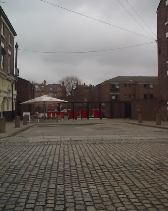
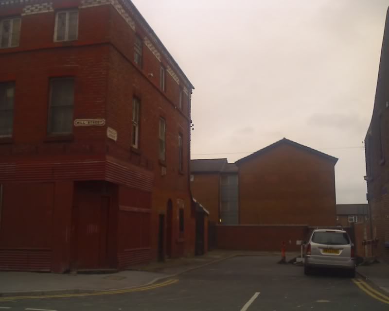
I found 4 streets off Mill Street, L8 that are simply squares now, most with railings at the bottom.
Barclay Street
Monro Street
Stopford Street
Whalley Street
Sorry the pics are a little dark. A massive rain cloud came over!
And another little street near Hope Street.
Sugnall Street
This is an interesting thread, thanks I never even thought about these streets especially the Garston ones.
Become A Supporter 👇
Donate Via PayPal

Most people know South St as the road bounding the south end of the "Welsh Streets" area of Prince's Park. This street is due for demolition. Many many not know that the other half of South Street has already been demolished and the area rebuilt. This part of South St abuts the Queen's Arms on Admiral Street.
This street has become a car park but was once a long street linking Admiral St with Park Rd. The new housing development to replace the "Welsh Streets" has been named after this street.
You can see 'our house' from there. A lot of people from the Welsh Streets have bought a new property in Park Road, opposite to Sommerfield.
How it works, I don't know but several people I know, now own half of their new house.
Sounds like shared ownership - you buy half the house and rent the other half off a housing association. You can then buy portions of the remainder until you own the whole thing. Makes it easier to get a house for people who don't have enough income to get a big mortgage and buy a house outright.
This road doesn't seem to exist anymore, but I'd be very interested in seeing any old photographs as I believe there were some very grand houses in this road.
Would appreciate any help, advice to find a picture.
Many thanks - I'll try this and will post the photo when I find one.
Saw this on whitefield road next to the Peel pub.
but on closed inspection there seems to be rail tracks embeded in the road, there to small to be a rail/tram track, could be a small track for a works. anyone any ideas.

That was the entrance to Barker & Dobson's sweet factory.Originally Posted by drone_pilot

Thanks for that do you have any images of the FactoryThat was the entrance to Barker & Dobson's sweet factory.
Found photos at the Records Office and am closer to identifying the house I'm looking for, possibly No. 42, but would love to find more photos of this road to be sure it's the right house. Any more ideas would be gratefully received.
Saw this on today, off Breck road, its blocked at both ends and has yellow lines and a no parking sign, do you thing there trying to tell you something?
 Posting Permissions

 Reply With Quote
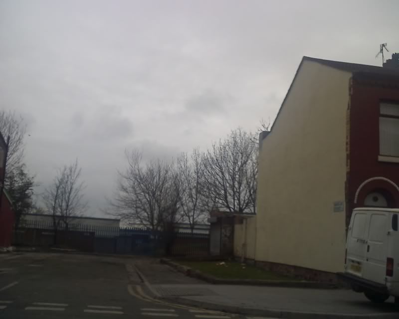

Bookmarks