
Originally Posted by
quincyg

I've got a couple of early 20th century localised OS maps. must have a proper look.

I've looked in the tunnel areas but can't make them out. how are they marked Phil? by a letter , number or tiny circle?
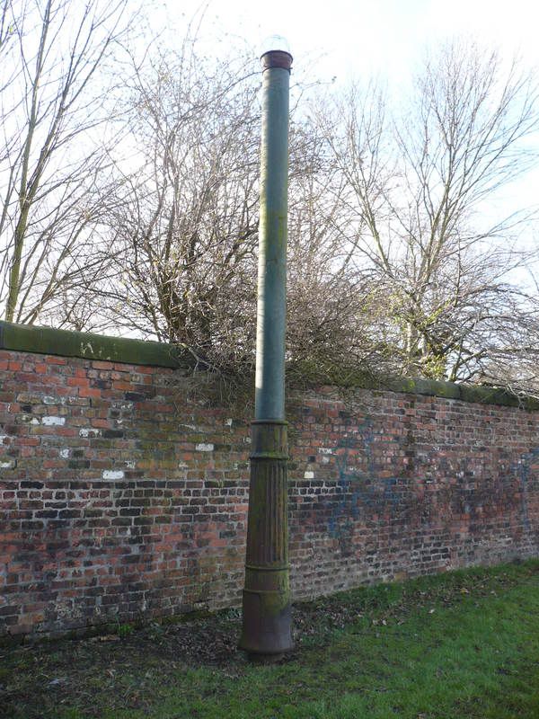
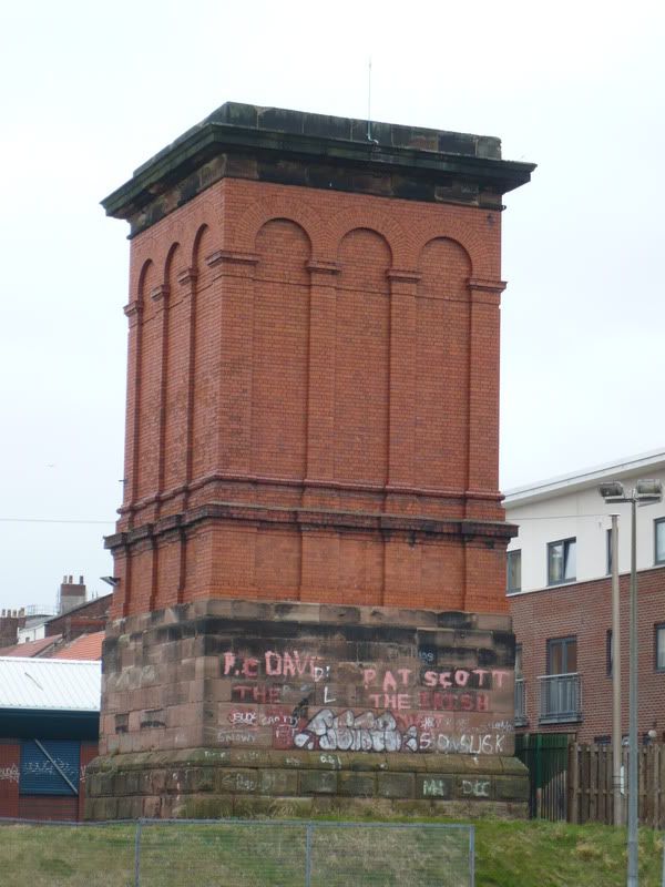
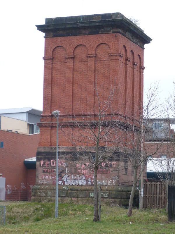
On the Wapping tunnel, they're marked by squares (because they're square?).
They're at: White St/Grenville St; Gt George St/Up Duke St; Blackburne Place; Chatham St/Myrtle St (not sure about this one. It could be a small building); and Crown St., which is marked as 'Air Shaft'.
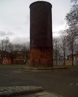
Victoria/Waterloo Tunnel, they're marked by circles (because they're circular?).
Gladstone St/Vauxhall Rd; (Cutting at Hodson/Byrom St); Wilde St./Norton St., (actually just on the other side of the tunnel!); Elizabeth St., near Crown St.; Paddington/Minshull St.; Elm Grove/Paddington; and Woodside St., near Wavertree Rd.
I'd never realised before that one tunnel had square vents and t'other circular.


 Reply With Quote


Bookmarks