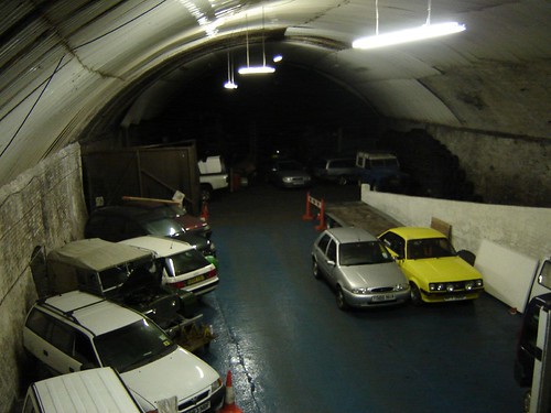
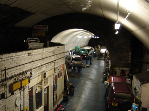
Ok, but I'm still very confused as to the whereabouts of some these tunnels - there is only so much information on a map - no underground information.
I am aware there is some sort of tunnel in Dingle, but I can't find this on old maps. Is it still intact, and does connect with the Northern Line. I really think that we should start producing maps and diagrams to explain ourselves a little better!
You say about Waterloo connecting with the Northern Line, but doesn't this tunnel run below the Northern Line? Therefore, new tunnels would have to be constructed - heavy investment needed. And as for the loop running down south Liverpool near Sefton Park, are you implying that whole new tunnels need to be constructed too?
I personally believe that the Waterloo Line should be connected to the Northern Line and also to Lime St - but again, a new tunnel would be needed, yes? I really think a definitive tunnels map needs to be made - well the council probably have one, but getting hold of it is another matter.
Come to think of it, your loop idea is smart, but my concern lies with Meseyside as a whole, and if commuters from all over Merseyside can travel to near London Rd, Waterloo, Wapping and other areas you mention, then that can only be of benefit to the city.
But I do believe the area around the North Liverpool Extension Line is in the most need of regenerating, and this line, at least for now, has the potential to link up to Lime St.
As I say though Mr. Waterways, maps and diagrams would be fantastic - indeed, you should write a dissertation like myself!


Originally Posted by jc_everton


 Reply With Quote


Bookmarks