


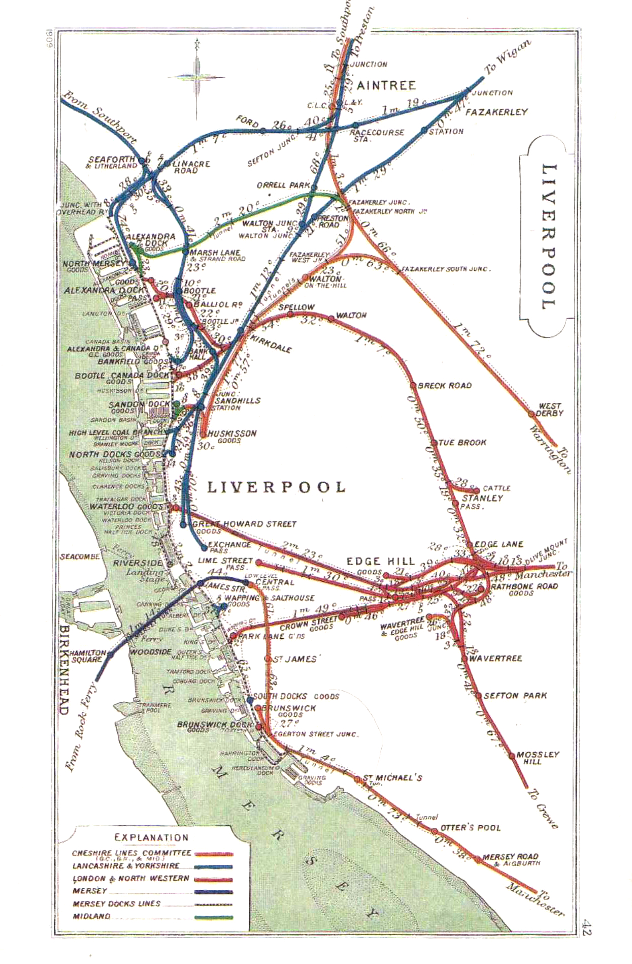
Just coz I'm being lazy, where about are they in waterloo ?Originally Posted by Waterways

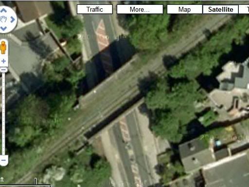
I assume the Linacre Gas works is the line that used to go were bootle police station is (I was mega surprised when I saw a photo of train lines there)
Also, what's on the old bridge that goes across Linacre Rd and the high bridge further along, towards liverpool. (I'm too much of a chicken to go and have a look)

 Reply With Quote


Bookmarks